Sauerland
Bergisches Land
The region Sauerland belongs, together with the Bergisches Land to the geological unit
 Rheinisches Schiefergebirge.
This area lies right of the river Rhine, between the rivers Sieg and
Ruhr, which explains the first part of the name.
The highest point in this region is the Kahler Asten in the Naturpark
(nature reserve) Rothaargebirge with 841 m asl The size of the Sauerland is west to east 120 km and nort to south about 60 km.
Rheinisches Schiefergebirge.
This area lies right of the river Rhine, between the rivers Sieg and
Ruhr, which explains the first part of the name.
The highest point in this region is the Kahler Asten in the Naturpark
(nature reserve) Rothaargebirge with 841 m asl The size of the Sauerland is west to east 120 km and nort to south about 60 km.
The area consists of sandstones, siltstones and mudstones. From the oldest Devonian (400 Ma) to the Upper Carboniferous (300 Ma), weathering debris from the neighbouring mainland was deposited and reached a thickness of 6 to 7 km. However, there were also reefs, the reef-forming sponges consisted of limestone and as they were not deposited they have no stratification. They are therefore referred to as Massenkalk (lit: mass limestone), and the limestone areas tend to be small-scale, mostly elongated and narrow. In between are saddles of lower Devonian rocks, like the Ordovician schist of the Remscheid Saddle and the Ebbe Saddle. In the Attendorn-Elsper Mulde, the layer sequence even extends into the Upper Carboniferous.
The whole area is karstified, but the most interesting features are formed at the borders between soluble and non-soluble rocks. This is called contact karst, and means the special karst phenomena that form at the contact between soluble and insoluble rocks. For example, when a river flowing on insoluble rock reaches the karst and is swallowed up by a cave. Or when the underground river reaches the insoluble rock and is forced to return to the surface in a karst spring.
- Sights of This Region
 Aggertalhöhle
- Attahöhle
- Balver Höhle
 Bergisches Museum für Bergbau, Handwerk und Gewerbe
- Besucherbergwerk Bertsch
- Bilsteinhöhle
- Besucherbergwerk Burgbergstollen
- Besucherbergwerk Grube Christiane
- Schieferbergwerk Grube Christine
- Dechenhöhle
- Schwerspatmuseum Dreislar
- Felicitas Heilstollen
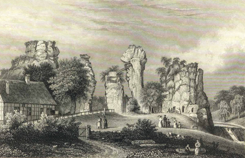
 Hemer Felsenmeer
- Besucherbergwerk Goldhausen
 Bunker Hagen
- Heilstollen Nordenau
- Heinrichshöhle
 Hohler Stein bei Kallenhardt
- Besucherbergwerk Kilianstollen
- Kluterthöhle
- Neanderthal Museum
- Philippstollen Olsberg
- Bleierzgrube Neu-Glück Plettenberg
- Besucherbergwerk Ramsbeck
- Schieferschaubergwerk Raumland
- Reckenhöhle
- Reinhold Forster Erbstollen
- Silberhardt
- Stahlberger Erbstollen
- Wiehler Tropfsteinhöhle
- Zeittunnel Wülfrath
- See also
 Search DuckDuckGo for "Sauerland"
 Sauerland - Wikipedia (visited: 25-OCT-2025)
 Geowissenschaftliche Gemeindebeschreibungen NRW
  (visited: 25-OCT-2025)
- Landesverband für Höhlen- und Karstforschung Nordrhein-Westfalen e.V.
- Schauhöhlen in NRW mit Karte! (visited: 25-OCT-2025)
- Visitor mines in the Geopark (visited: 25-OCT-2025)
 Index
Index Topics
 Hierarchical
 Countries
 Maps
Maps