Zion–Mount Carmel Tunnel
Useful Information
| Location: |
Zion – Mount Carmel Hwy, Hurricane, UT 84737.
(37.211305, -112.958228) |
| Open: |
no restrictions. [2025] |
| Fee: |
free. Park: Private Vehicle USD 35, Motorcycle USD 30, Per Person USD 20. Tickets valid 7 days. Tunnel Permit for oversize vehicles: Per Vehicle USD 15. [2025] |
| Classification: |
 Tunnel Tunnel
|
| Light: | n/a |
| Dimension: | L=1,760 m. |
| Guided tours: | self guided |
| Photography: | allowed |
| Accessibility: | yes |
| Bibliography: | |
| Address: | Zion–Mount Carmel Tunnel |
| As far as we know this information was accurate when it was published (see years in brackets), but may have changed since then. Please check rates and details directly with the companies in question if you need more recent info. |
|
History
| 1927 | begin of construction. |
| 1930 | tunnel completed. |
| 1989 | traffic control at the tunnel for large vehicle started. |
Description
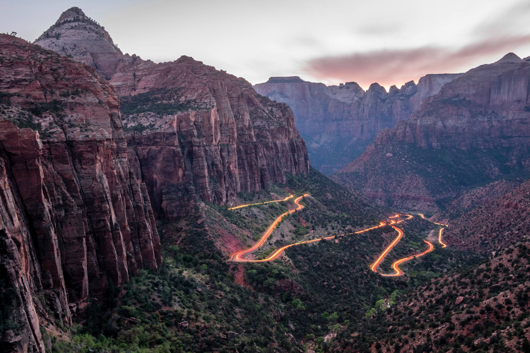
The Zion–Mount Carmel Tunnel is a road tunnel of Zion–Mount Carmel Highway SR9.
This road is an east-west connection between US89, starting at Mount Carmel Junction and La Verkin, and it is the only road which crosses Zion National Park.
As a result it is the access to the main feature of Zion, the
 Zion Narrows
gorge as well as
The Subway.
It crosses the Zion National Park, but not the Zion Wilderness, which it splits into two parts.
It seems the road was integrated into the National Park, but not into the Wilderness, as well as the Canyon overlook Trail which starts at the parking lot at the eastern tunnel entrance.
Probably some bureaucratic nonsense.
Zion Narrows
gorge as well as
The Subway.
It crosses the Zion National Park, but not the Zion Wilderness, which it splits into two parts.
It seems the road was integrated into the National Park, but not into the Wilderness, as well as the Canyon overlook Trail which starts at the parking lot at the eastern tunnel entrance.
Probably some bureaucratic nonsense.
The Zion–Mount Carmel Tunnel is quite unique as it runs parallel to the cliff face for a long distance. It was built to avoid a narrow section of the gorge, not to cross a mountain, so actually both ends are in the same gorge, below and above the narrow slot canyon. And at the time of its construction Zion was already a National Park so the tunnel was also intended to minimize the visual impact of the highway. It was constructed between 1927 and 1930, as a part of the Zion–Mount Carmel highway, and both are included in the National Register of Historic Place. The whole highway was intended as a direct route between the tourist sites Zion, Bryce Canyon, and the Grand Canyon. The project was realized by the Nevada Construction Co. and cost USD 1.9 Million.
The construction of such a long tunnel was quite difficult with the technology of the 1920s, it was the longest road tunnel in the United States when it was opened. So they planned the tunnel with a constant distance of 7 m to the cliff face. Six crosscuts were used to get rid of the excavated rock, so it was not necessary to transport it back to the tunnel entrance, just to the next crosscut. They also provided light and fresh air during the construction and until today. When the road was first opened they were transformed into small parking lots, which were quite popular as they provided views of the fantastic scenery outside the tunnel. Unfortunately this caused a number of accidents, when people were breaking to stop at such a site or when they overlooked a car on the road while leaving the parking lot. Actually they had start from zero without any acceleration lane. So the parking lots are not available any more, they were closed.
The tunnel is a road tunnel and as well as the road it is freely accesible. However, there are restrictions due to the age and size of the tunnel. Vehicles above a certain size can cross the tunnel only after the tunnel is temporarily converted to a one-way road. This is as far as we know possible between 8 and 16:30, but there is a fee of USD 15 for this. Vehicles must be measured at the entrance station when they arrive at the park. Park rangers are stationed at both ends of the tunnel and convert traffic flow to a one way direction. In 2026 larger trucks will be completely banned from the road and have to use alternative routes. Bicycles and pedestrians are prohibited from entering the tunnel.
 Search DuckDuckGo for "Zion–Mount Carmel Tunnel"
 Google Earth Placemark
 OpenStreetMap
 The Zion-Mount Carmel Tunnel (visited: 01-OCT-2025)
 Zion–Mount Carmel Tunnel - Atlas Obscura (visited: 01-OCT-2025)
 Index
Index Topics
 Hierarchical
 Countries
 Maps
Maps