Мангуп-Кале
Mangup-Kale - Mangup Fortress
Useful Information
| Location: | Crimean Peninsula. 30 km east of Sevastopol. |
| Open: |
no restrictions. [2007] |
| Fee: |
free. [2007] |
| Classification: |
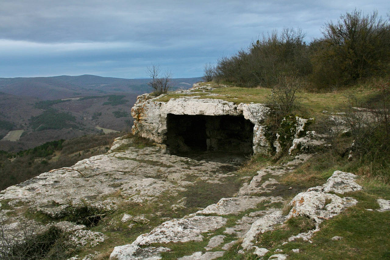
 Cave House Cave House
|
| Light: | none. |
| Dimension: | |
| Guided tours: | A=475 m asl. |
| Photography: | |
| Accessibility: | |
| Bibliography: | |
| Address: | |
| As far as we know this information was accurate when it was published (see years in brackets), but may have changed since then. Please check rates and details directly with the companies in question if you need more recent info. |
|
History
| 490s | settled by those Ostrogoths who refused to follow Theodoric the Great in his invasion of Italy. |
| 8th century | Crimean Gothia was conquered by the Khazars. |
| 960 | first written mention of the name Mangup. |
| 11th century | severly damagen by an earthquake. |
| ~1300 | Mangup becomes the centre of the Principality of Theodoro. |
| 1475 | Ottoman commander Gedik Ahmet Pasha besieges Mangup, after five months the city falls. |
| 1774 | fortress abandon the Turkish garrison. |
| 1790s | the last inhabitants, a small community of Karaims, abandon the site. |
Description
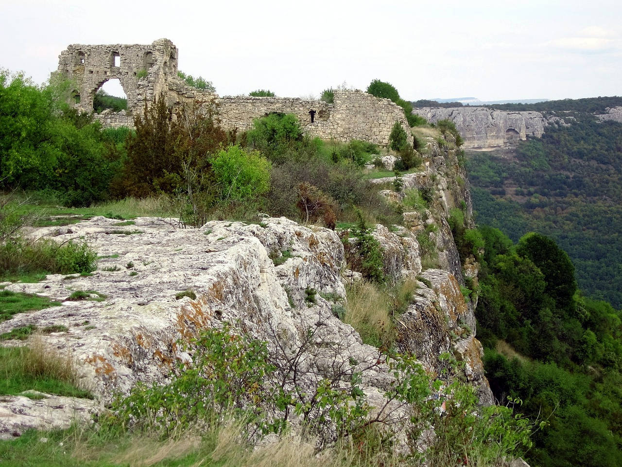
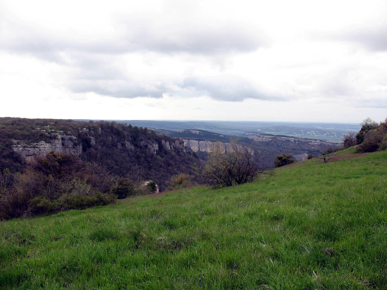
The cave city Мангуп (Mangup) is the largest cave city on the Crimean peninsula. Located 200 m above the surrounding valley it was called the City In The Sky. The remains include cave houses, fortifications, towers, and churches. The remains of a princely palace were once the home of Prince Feodor.
The city was erected by Ostrogoths or Goths, who settled here in the 5th century and named the city Dory or Doros. The area was Christian and there is archaeologic evidence for the erection of basilicas. But in the 8th century the Crimea was conquered by the Khazars. An attempt of a revolt against Khazaria led by Bishop John of Gothia was unsuccessful. During the 9th century the name of the city changed to Mangup, with its first written mention in 960.
 Search DuckDuckGo for "Mangup-Kale"
 Google Earth Placemark
 Mangup - Wikipedia (visited: 01-JUL-2020)
 Index
Index Topics
 Hierarchical
 Countries
 Maps
Maps