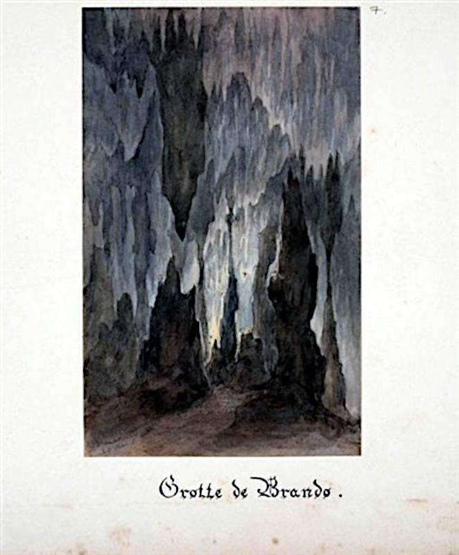
Grotte de Brando
Useful Information
| Location: |
Les Glacières de Brando, D80, 20222 Brando.
8 km from Bastia in the direction of Cap Corse, D80 coastal road Lavasina exit. 15 minutes walking. (42.768279, 9.468197) |
| Open: |
no restrictions. [2023] |
| Fee: |
free. [2023] |
| Classification: |
 Karst Cave Karst Cave
|
| Light: | bring torch |
| Dimension: |
L=55 m, T=17 °C. Source de la Glacière: Yavg= 35 l/s, Ymin=5 l/s, T=14 °C. |
| Guided tours: | self guided, L=100 m. |
| Photography: | allowed |
| Accessibility: | no |
| Bibliography: |
Friedrich Oedl, R. Huber (1959):
Von Höhlen Korsikas,
Die Höhle, Vol 10, Seiten 58-61.
 pdf
pdf
Eric Gilli (2002): Etude Prealable sur le Drainage des Karsts Littoraux, Report number: CEK 2002Affiliation: Centre d’Etude du Karst - Agence de l’Eau Rhöne Méditerranée Corse. researchgate DOI |
| Address: | Grotte de Brando. |
| As far as we know this information was accurate when it was published (see years in brackets), but may have changed since then. Please check rates and details directly with the companies in question if you need more recent info. |
|
History
| 1841 | discovered by the engineering commander Philippe Ferdinandi while working on his property. |
| 1958 | cave visited by Friedrich Oedl und R. Huber from Austria, report in Die Höhle. |
| 1985 | cave explored and surveyed by G. Calandri. |
| 1994 | Source de la Glacière researched by the BRGM. |
Description
The Grotte de Brando is named after the small coastal village Brando on Cap Corse, and was once a show cave. It is also the only show cave which ever existed on the island Corse, which is so unsuitable for caves. The cave is not operated anymore, but it still has trails, and it is not gated. Take a lamp with you, we actually recommend a helmet with headlamp, which is more comfortable, and good walking shoes.
The cave is not signposted, although people are not discouraged from visiting the cave, they are not encouraged either. At the entrance is a sign explaining the special circumstances of accessibility. Visitors are asked not to touch anything, let alone knock anything off and take it with them. But there is not much left anyway, what could be taken by force is already gone. The few remains give a glimpse of what once existed and was destroyed.
The entrance area of the cave was used for the construction of a fortified village. The village is ruined but numerous walls still exist, some buildings and a chapel.
The Source de la Glacière is the lower, water filled level of the cave. The resurgence was used by the ice factory, hence the name, and also for drinking water. The flow is quite high, an average yield of 35 l/s can not be explained by the limited surface of the karstified band of limestone. It seems, streams from the surrounding metamorphic rocks, which have surface draining, are swallowed by the karstified limestone.
To reach the cave follow D4 coastal road to Brando, park at the road near the Glacières de Brando, an abandoned ice factory. Ascend the stone staircase left of the building, turn left then right and take the next staicase. Finally, you will reach the cave entrance. The ice factory was still operating in 2009, but it seems it is now abandoned and was transformed into a museum. We could not find any open hours though.
 Search DuckDuckGo for "Grotte de Brando"
 Google Earth Placemark
 La grotte de Brando
  (visited: 28-JAN-2023)
 Index
Index Topics
 Hierarchical
 Countries
 Maps
Maps