Quang Ninh Province

Quang Ninh Province ist the easternmost province, with a border to the People's Republic of China in the east. The southern border of the province is a meandering coastline, with numerous estuaries and tidal flats. About 80% of the province is hill country.
The most interesting feature of this province, at least from the subterranean point of view, is Ha Long Bay, listed on the UNESCO World Heritage List.
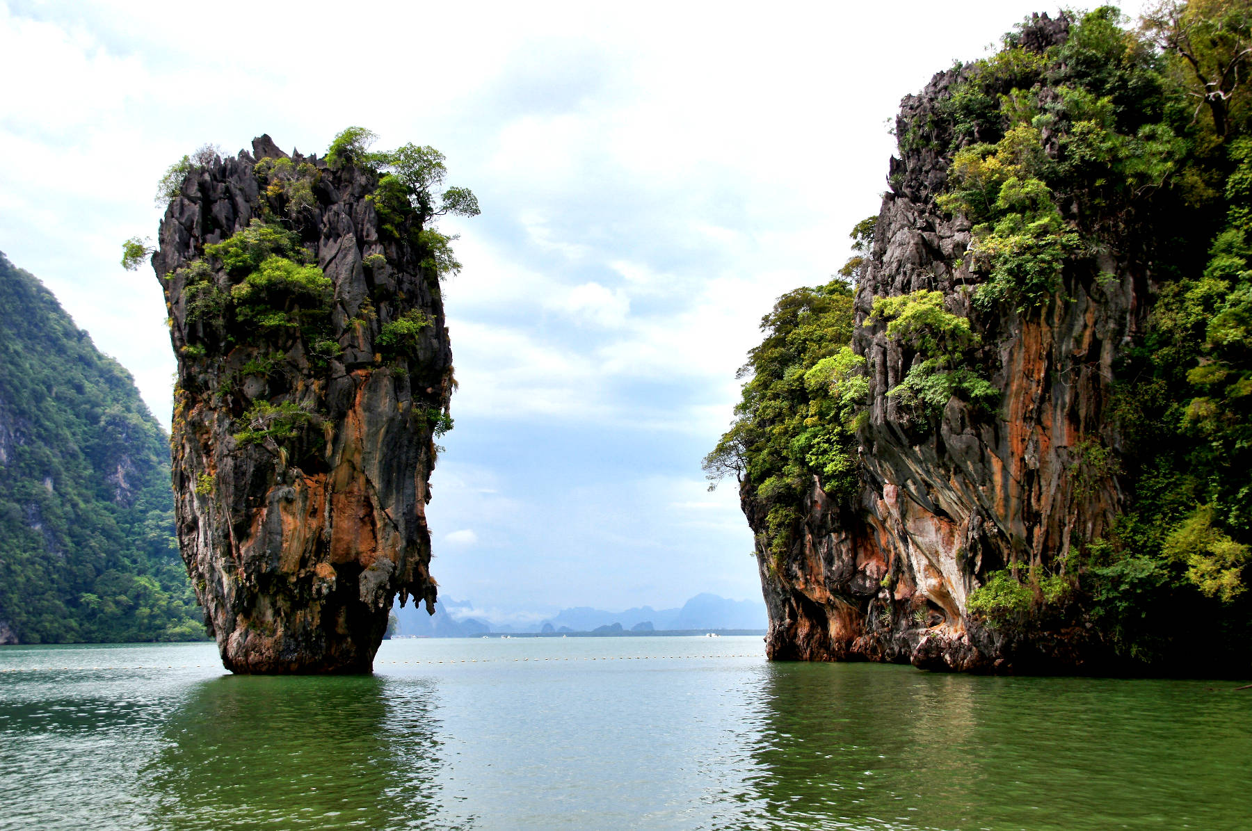
It is a part of the Gulf of Tonkin, and an impressive example of
 tower karst.
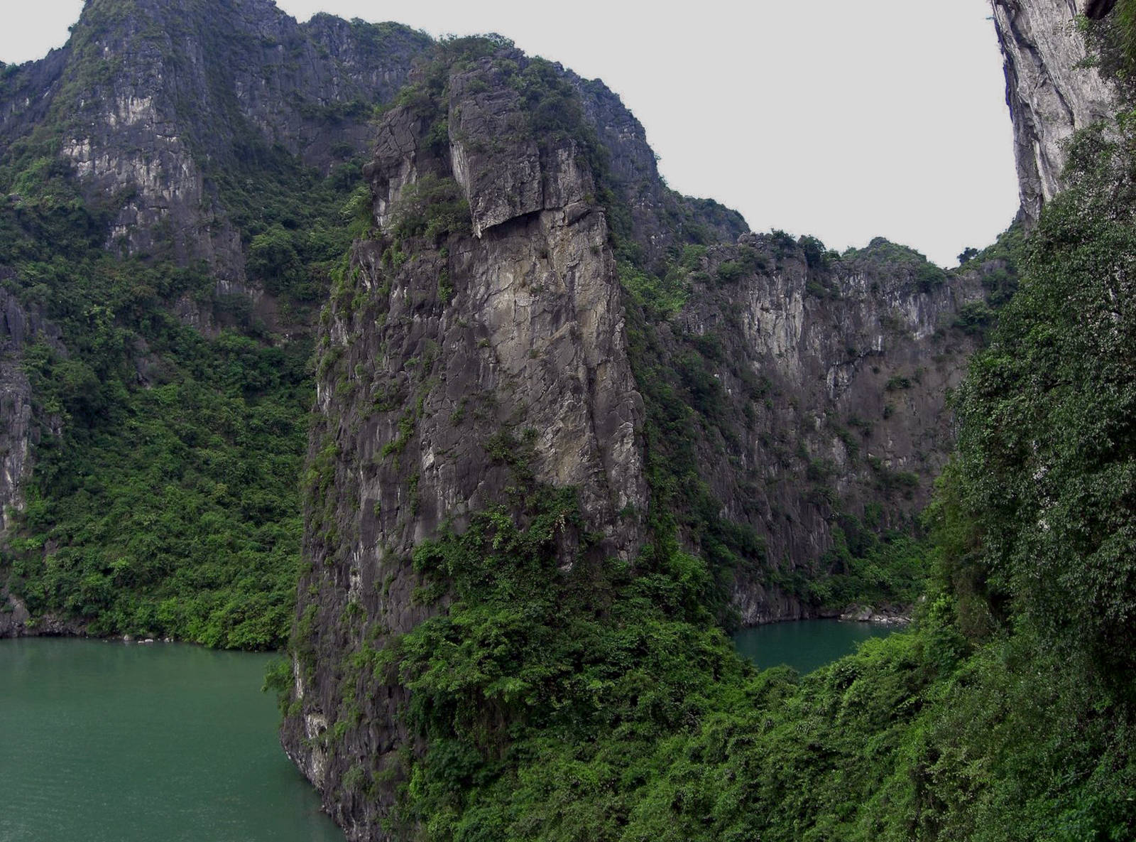
The karst development produced a huge number of limestone towers, separated by valleys with generally flat floor.
They are interpreted as former cave systems which collapsed and the debris was eroded too.
The remaining towers are also heavily karstified draining into the valleys.
tower karst.
The karst development produced a huge number of limestone towers, separated by valleys with generally flat floor.
They are interpreted as former cave systems which collapsed and the debris was eroded too.
The remaining towers are also heavily karstified draining into the valleys.
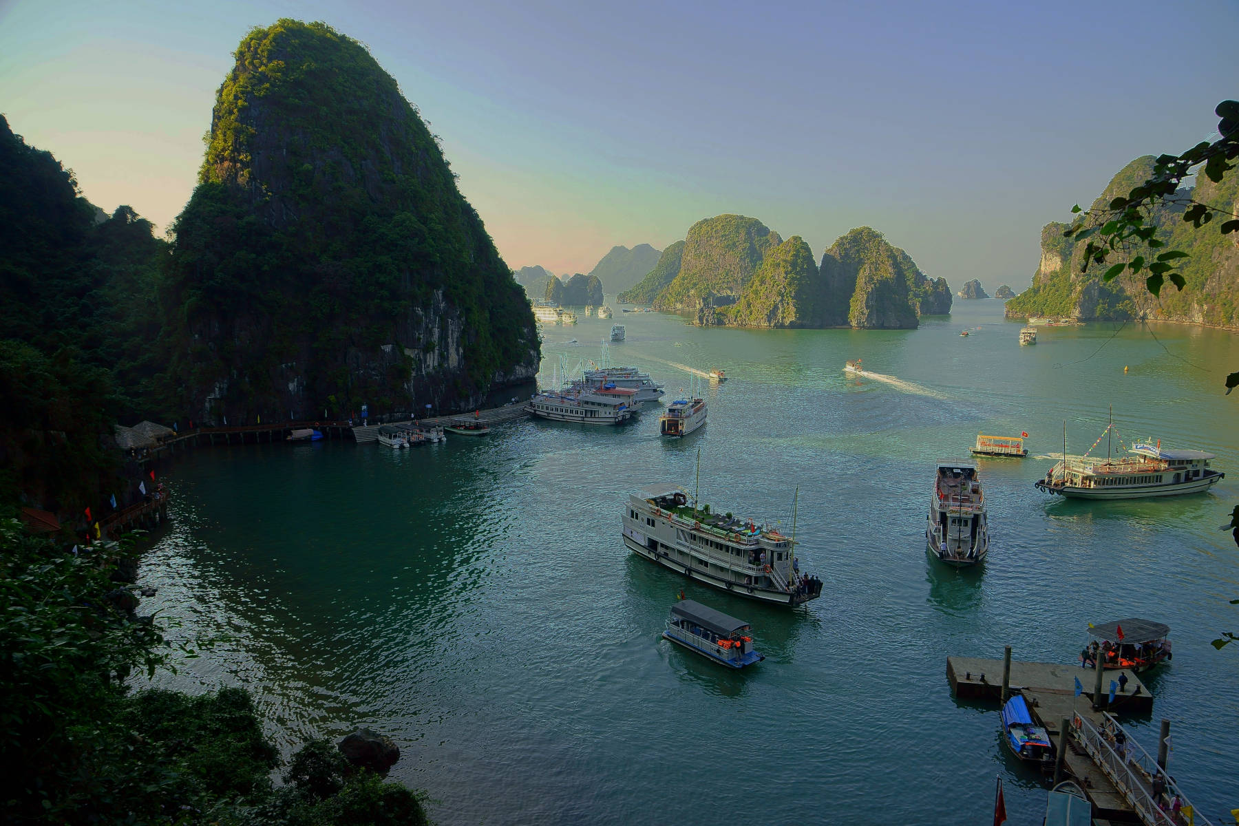
In this area, because of the rise of the sea level after the last ice age, most of the valleys are flooded today. The valleys formed about 80 m above sea level during the ice age. The melting ice caused a rise of the sea level by 100 m, and today the valley floor forms a 20 m deep sea floor, still showing the signs of ancient streams. The karst towers became islands, and the result is some 1,600 islands and islets full of caves.
The islands do not have surface water because of the karstification, and groundwater is contaminated by the sea water and thus salty or brackish. The lack of sweetwater is the reason why most of the islands are uninhabited and unaffected by a human presence.
Ha Long Bay is generally visited on a Ha Long Bay cruise via a group tour that begins and ends in Hanoi. The tours typically include a visit to a floating village, a swim, paddling around with kayaks, and a cave tour. The two most popular caves are the Động Thiên Cung (Dragon Cave) and the Hang Sung Sôt (Surprise Cave). In general the operators do not tell beforehand which one is visited as this decision is made on the boat.
 Bo Nau Cave
 Hang Đầu Gỗ
 Hospital Cave
 Index: The Subterranean World Heritage List.
 Search Google for "Quang Ninh Province"
 Quang Ninh Province - Wikipedia (visited: 28-OCT-2023)
 Ha Long Bay - UNESCO World Heritage Centre (visited: 28-OCT-2023)
 Halong Hype (visited: 28-OCT-2023)
 Index
Index Hierarchical
 Countries
 Maps
Maps Search