Geology of New Zealand
New Zealand is situated in the South Pacific Ocean, 1,600 km south-east of Australia. It consists of two big islands, the North Island and the South Island and an amount of smaller islands. New Zealand has caves on both large islands. Some of them are show caves.
The life on this islands is really special: many endemic species, especially flightless birds, like the Kea, the Kiwi, the Kakapo or the Weka. There are strange plants, like the fern trees. And of course, there is special life inside the caves: the glowworms are bioluminescent larvae of an endemic fly.
All this strange things are a result of New Zealands extraordinary geology. 200 Million years ago only one single continent existed, called Gondwanaland. This super-continent broke up into pieces, two of the pieces were Australia and New Zealand. Since this time the life on Australia and New Zealand was separated from the rest of the world.
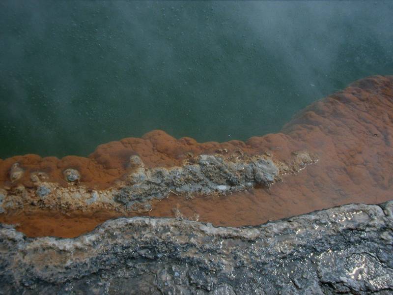
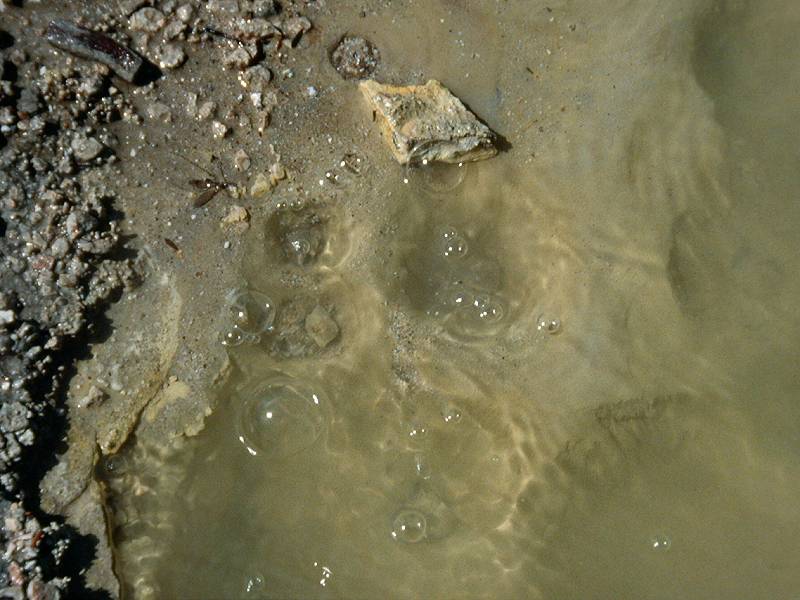
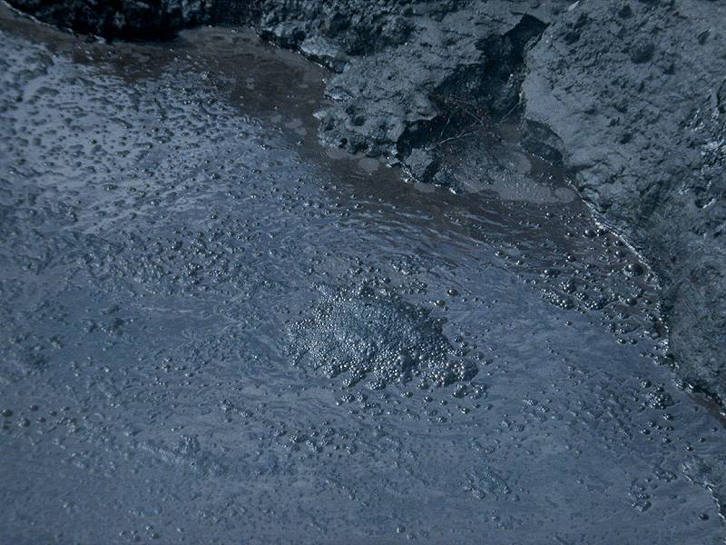
New Zealand is located on the rim between two tectonic plates, the Pacific plate and the Australian plate. The location at the plate rim results in volcanism all around the islands, especially on the North Island. New Zealand is part of the fire belt around the Pacific Ocean. Volcanoes erupt now and then, most famous is a young island which formed at the coast of New Zealand some decades ago. The more moderate volcanism produces heat energy and electricity in numerous hydrothermal power plants on the North Island. And some of this volcanic places are famous tourist destinations, like Waiotapu Geothermal Area, Rotorua, on North Island.
The extremely efficient use of volcanic energy on North Island, and the enormous amount of water power on South Islands is big enough to provide all needed electricity. New Zealand does not import fossil energy to produce electricity, they only use renewable sources. Of course they are not autarc, as they need petrol for their cars and for heating.
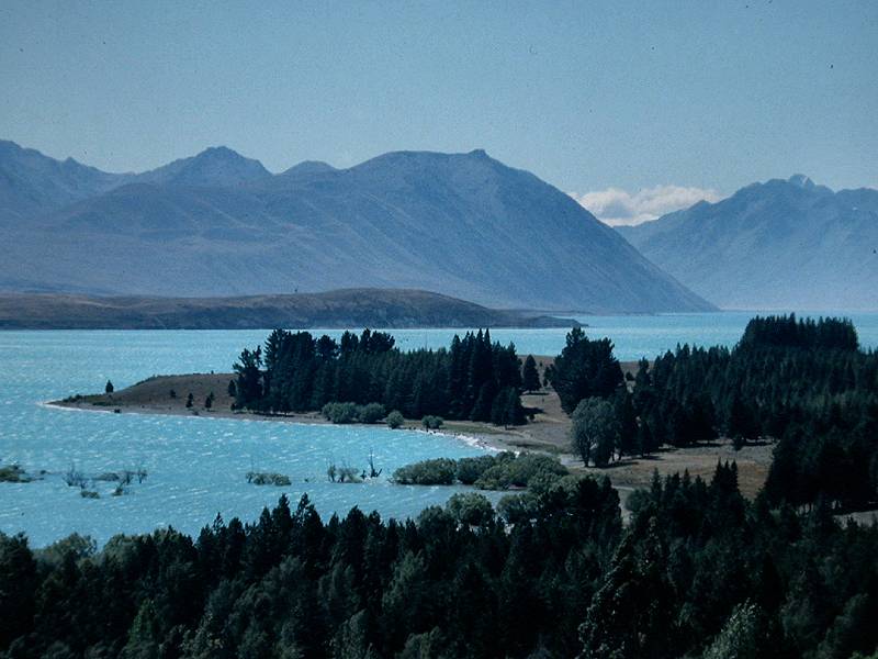
Beneath volcanism there are numerous other processes connected with the location of the islands at active plate rims. Although the plates do not really collide, the forces have an narrowing component which was the force which built the Southern Alps. The Australian plate is more rigid and it moves norteast, the Pacific plate moves southwest. The rim runs nearly north-south, more or less parallel to the west coast of South Island.
So the two forces do not meet frontal, but somewhat diagonal, which splits the force into two components. The frontal component works rectangular to the plate rim, compresses the rocks, bends them upwards and produces thus a continual uplift which formed the Alps. The lateral component makes the two plates move along each other, which is called strike-slip. This lateral movement produces earthqakes from time to time.
Tectonic forces, volcanic rocks and schists and crystalline rocks uplifted by the orogeny, there are also many sedimentary rocks. Among those rocks are numerous limestones and marbles which are karstified. Because of the complicated geology of New Zealand, they form small patches, all over the islands.
The most important karst region is around Waitomo, on North Island. Here are most of the caves and other karst features, which can be visited on walks. On South Island is an important karst area west of Nelson on the northern coast, with two show caves and the biggest karst spring of the southern hemisphere. Another karst area is located at the west coast around the famous tourist destination Pancake Rocks, which are formed of limestone. This area has has no show caves but several tour operators guide tourists into wild caves open to the public.
- See also
 Search
 Index
Index Topics
 Hierarchical
 Countries
 Maps
Maps